
Drone Piloting & Tech
India's drone industry is projected to become a ₹15,000 crore market by 2026 — across agriculture, mapping, inspection, and filmmaking. Two courses — beginner and advanced — take you from your first flight to DGCA-ready, autonomous operations.
Basics of Drone Piloting
"Take flight — learn to fly drones safely and legally from the very beginning"
What is this course about?
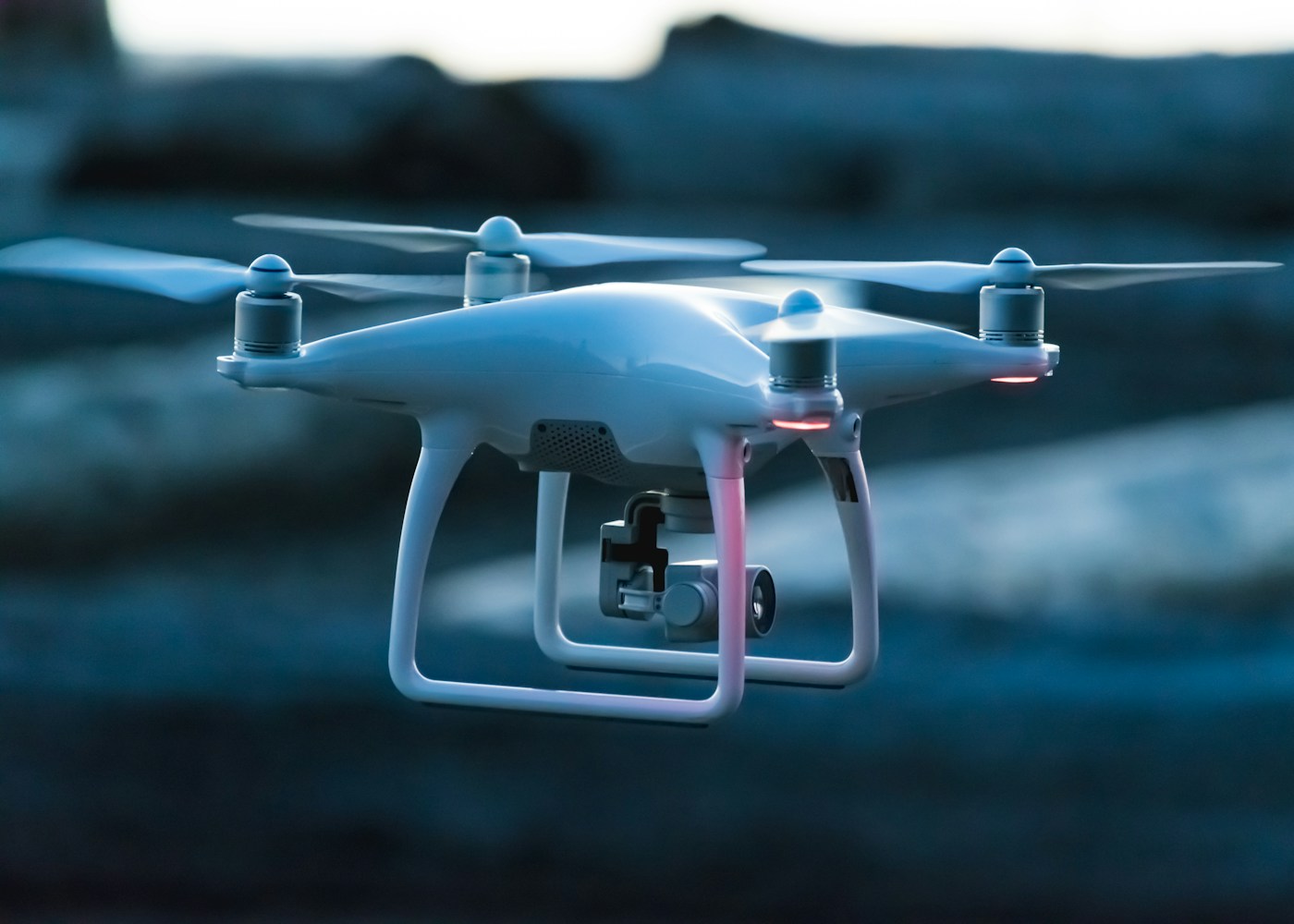
Drones are being deployed across agriculture, infrastructure inspection, filmmaking, emergency response, mapping, and dozens of other industries — and the demand for trained, certified drone operators in India is growing faster than the supply of qualified people. This beginner course is designed to be a genuine entry point into a technology field that is expanding at an extraordinary pace and will continue to do so for decades.
You will begin with the science and theory of flight — understanding how fixed-wing and multi-rotor drones generate lift, how different drone configurations are designed for different purposes, and how the onboard sensors, gyroscopes, GPS systems, and electronic speed controllers work together to keep a drone stable and responsive in flight. This foundational understanding makes you a better, safer, and more capable operator — not just someone who knows how to move the sticks.
India's drone regulatory framework is covered in depth. The DGCA (Directorate General of Civil Aviation) has established a comprehensive set of rules governing drone registration, permitted flight zones, altitude limits, no-fly zones, and operator responsibilities. Understanding these regulations is not just a legal requirement — it is what separates professional operators from hobbyists, and it is essential knowledge for anyone who wants to fly commercially or pursue a career in the industry.
Hands-on flying practice is the heart of this course. You will operate drones in controlled environments, developing the spatial awareness, motor control, and situational judgement that makes a confident, safe pilot. You will also learn the essentials of aerial photography — how to frame, capture, and handle footage from the air. By the end of this course, you will have real hands-on flying experience and a clear understanding of the career paths available in the drone industry.
Who is this course for?
What You Will Learn
Tools & Technologies Covered
What You Will Be Able To Do After This Course
Advance Drone Operations
"Master autonomous systems, DGCA licensing & commercial drone operations"
What is this course about?
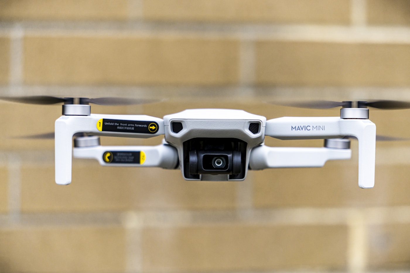
This is the professional-level programme for serious drone pilots. It is designed for people who have completed foundational training and are ready to develop the advanced skills, certifications, and industry knowledge needed to operate commercially, lead drone projects professionally, or pursue a career in the commercial drone industry. In India's rapidly expanding drone industry, this level of qualification puts you in a very small, very in-demand group.
On the drone side, you will master autonomous flight programming — the technology that allows drones to fly pre-planned routes without manual control. You will learn to set waypoints, plan automated survey and mapping missions, understand obstacle avoidance systems, and work with ground control software to execute complex flight operations. You will also cover Beyond Visual Line of Sight (BVLOS) operations — understanding the regulatory framework, technical requirements, and safety protocols for flights where the drone is not directly visible to the operator.
Advanced aerial photography and videography are covered in depth — the techniques that distinguish commercial-grade aerial content from amateur footage. You will learn to plan and execute complex aerial shots, work with camera gimbal systems, understand colour grading for aerial footage, and deliver professional aerial content for clients in real estate, events, construction, and media. You will also learn how to conduct infrastructure inspections and 3D mapping surveys using photogrammetry software — a rapidly growing commercial application.
The advanced flight module goes deep into professional operations — planning and flying automated missions, working with mapping and survey software, and understanding the systems that enable precise, repeatable, data-grade drone flights. You will also complete comprehensive preparation for the DGCA Remote Pilot Certificate — India's official qualification for commercial drone operations. This certification is increasingly required by employers, clients, and government tenders. Completing this course positions you at the front of one of India's most exciting, fastest-growing, and currently underserved career paths.
Who is this course for?
What You Will Learn
Tools & Technologies Covered
What You Will Be Able To Do After This Course
Ready to enter the future of technology?
Book a free counselling session and our team will guide you to the right course based on your current experience, goals, and the career path you want to build.